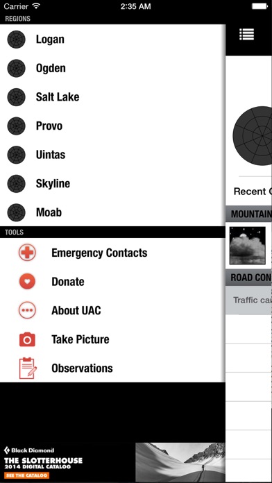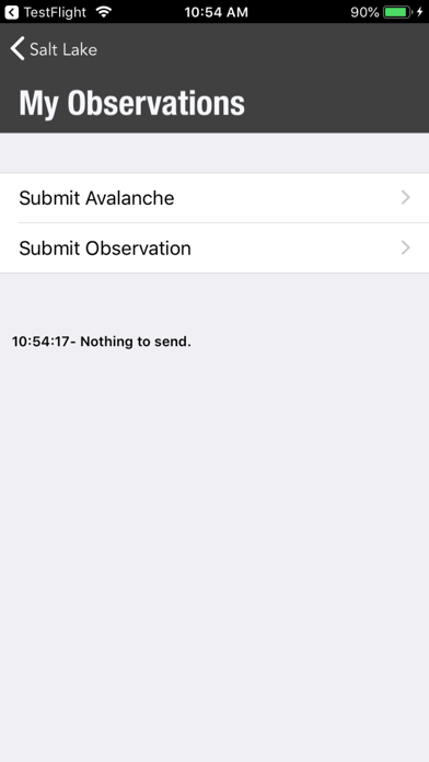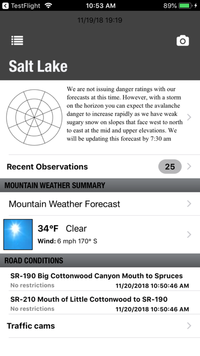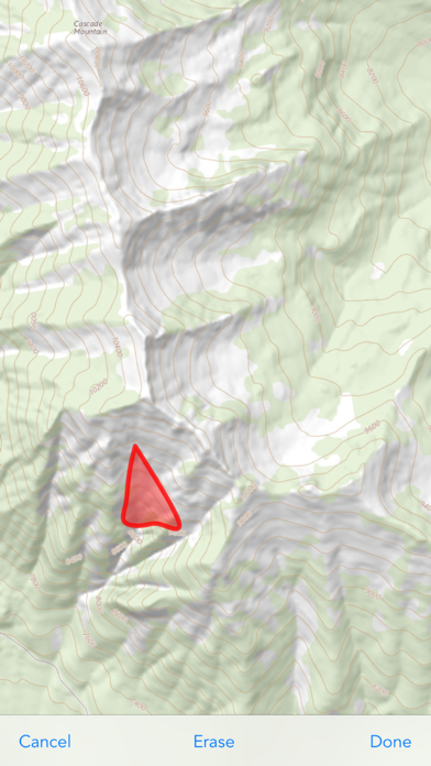
This free app consolidates the avalanche, weather, road, and slope information you need for critical decision-making, including: - Daily avalanche advisories for 7 regions around the state from the Utah Avalanche Center - Daily field observations from a small army of volunteer observers as well as the UAC staff. - Road conditions including avalanche closures, road travel restrictions, and canyon road webcams - Critical mountain weather information including current conditions, forecasts, satellite loops, radar, and mountain weather cams - Emergency contacts and your GPS location for a fast rescue response . - A slope evaluation tool using your camera, containing your GPS location, steepness, aspect, elevation, time, and date - Ability to photograph a slope watermarked with GPS location, steepness, aspect, elevation, time, and date and share that photo - Forms to quickly share observations with the Utah Avalanche Center - A list of contacts for more information